
ArcGIS Online
September 20, 2022 2022-11-10 12:47ArcGIS Online
Map and interact with your location data
Build interactive web maps with ArcGIS Online, Esri’s web-based mapping software. Gain new perspectives and enhanced details as you interact with data, zoom in, and search on the map. Use smart, data-driven mapping styles and intuitive analysis tools to gain location intelligence. Work effectively across your organization by collaboratively building and using maps. Share your insights with specific people or the entire world.
What you can do with ArcGIS Online
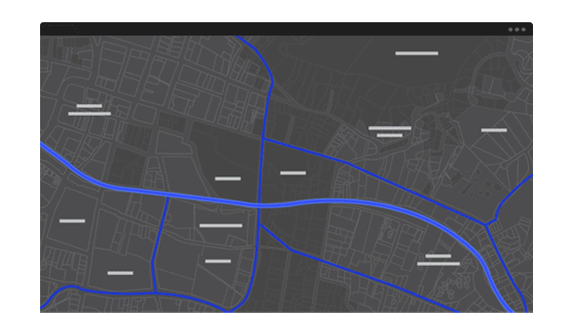
Make maps
Build interactive maps that explain your data and encourage users to explore. Map your own data and gain perspective by adding the authoritative location-based data included in ArcGIS Online. Use smart mapping to guide your data exploration and visualization>
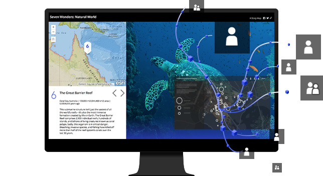
Share maps and apps
Share your maps with specific groups or everyone. Create web apps with your maps for a focused, interactive experience. Then integrate the apps you built into your digital presence including your website, social media posts, and blog articles.
Contact sales
Please share your information and our sales team will contact you soon. We look forward to communicating with you