Welcome | Esri Eastern Africa User Conference
August 3, 2022 2025-04-30 14:01Welcome | Esri Eastern Africa User Conference

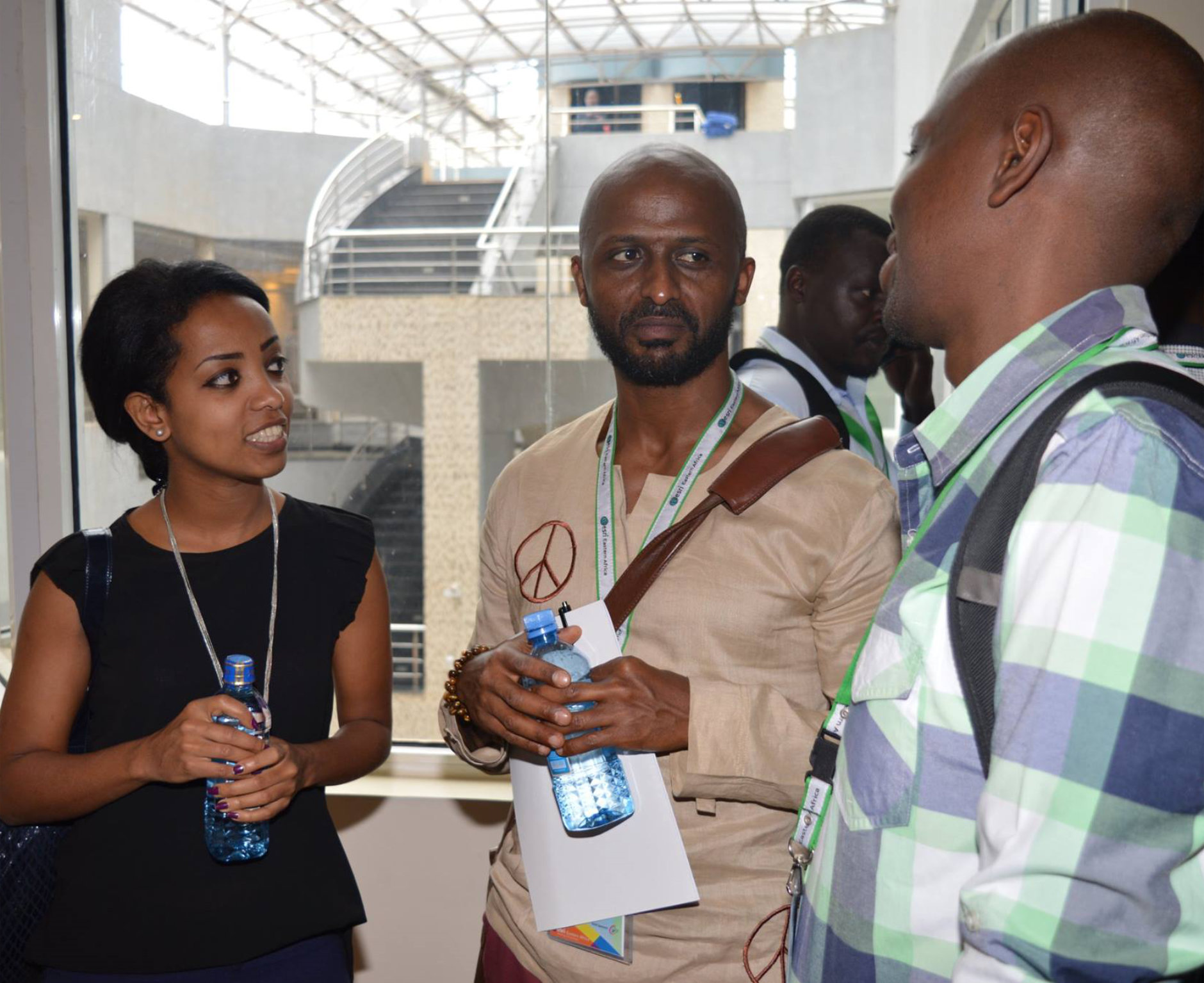
Celebrating its 14th year, the Esri Eastern Africa User Conference is a premier gathering for GIS enthusiasts from Eastern Africa and beyond, offering a unique platform to exchange insights and explore the cutting-edge advancements in geospatial technology.
Conference Agenda
|
Tuesday, 6 May 2025 |
08:00
|
Esri Conservation Summit 08:00-16:00 |
| 7:30 – 9:30 | Registrations | Victor Mutua | Welcome Plenary | |||
| 9:30 – 11:00 | Esri Eastern Africa Opening Remarks | Samuel Kimani, CEO | ||||
| Esri Keynote Address | Dean Angelides, Esri Inc | |||||
| Esri Technology Updates | Joseph Obonyo, CTO | |||||
| 11:00 – 11:30 | Exhibition & Map Gallery Opening/ Tea Break & Networking | |||||
| Break-Out Sessions (Parallel Tracks) | ||||||
| 11:30 – 13:00 | Track 1: Technical Workshops | Facilitator | Track 1: GIS for Agriculture & Sustainable Development | Facilitator | Track 2: GIS in Planning & Public Service Delivery | Facilitator |
| Online Web Editing | Esri EA/ Esri Rwanda | Esri EA Industry Presentation | Natividad Mkara | Esri EA Industry Presentation | Maxwell Majuek | |
| Spatial Insights for a Greener Future – Flux Carbon | Herine Ondolo & Ngugi Thuo | ArcGIS Solutions for Sustainable Spatial Planning – Geosurveys & Geospatial Information Limited | Racheal Muthaka | |||
| Modeling Sugarcane Yields with Random Forests in ArcGIS: Kenya Sugar Board | Eric Lwambe | Integrating Local Knowledge in Marine Spatial Planning: The Role of Participatory Resource Mapping – CORDIO | Nimrod Ishmael | |||
| ArcGIS Field Apps | Spatial Management & Monitoring of Sugar Plantations, TPC Sugar, TZ | Theresia Bartholomew | Leveraging GIS for Sustainable ASAL Development – Cetrad | Wisdom Kipkemboi | ||
| Development of a Drought Monitoring System Using Machine Learning Algorithms DeKUT. | Paul Wainaina Kimani | Leveraging Drone Imaging and Mobile GIS for Informal Settlement Interventions – Agizo Africa | Matheri Kangethe Agizo | |||
| 13:00 -14:00 | Lunch Break | |||||
| 14:00 – 15:30 | Track 1: Technical Workshops | Facilitator | Track 3: GIS for Government & Policy Making | Facilitator | Track 4: GIS for Mining & Petroleum | Facilitator |
| GeoAI in ArcGIS | Esri EA/ Esri Rwanda | Esri EA Industry Presentation | Everton Namasake | Esri EA Industry Presentation | Mathew Mbiyu | |
| GIS based National Cenus Data Dissemintaion – NBS | Tumaini Komba | Leveraging ArcGIS Field Maps for Efficient Geological and Geophysical Data Acquisition – SDP | Jefferson Butes | |||
| Modern Asset & Network Management | Smart City Managament using ArcGIS – KoTDA | Annah Musyimi | Mapping the Impact of Government Installed LPG Infrastructure in Public Institutions of Learning Using ArcGIS, Kenya – SDP | Felista Wavinya, Jane Oremo | ||
| ArcGIS for Urban Planning and Smart City Development Initiatives – KCCA | Flavia Zabali -KCCA | Leveraging GIS for Oil & Gas Block Reconstitution in Kenya – NOC Kenya | Sharon Rotich | |||
| 15:30 -16:00 | Tea Break & Networking | |||||
| 16:00 – 17:00 | Panel Discussion: The Future of GIS – Challenges and Opportunities | |||||
| 17:00 – 17:30 | Closing Remarks & Day 1 Wrap-Up | |||||
| 7:30 – 9:00 | Registrations/ Arrival & Morning Networking | |||||
| 9:00 – 10:30 |
Welcoming Address |
Samuel Kimani, CEO | ||||
|
Ramani |
Daniel Haywood | |||||
| Eos Positioning System | Steve Lawrence | |||||
|
Emerging GIS Innovations & Case Studies |
Esri EA/ Esri Rwanda | |||||
| 10:30 – 11:00 | Tea Break & Networking | |||||
| 11:00 – 13:30 | Track 1: Technical Workshops | Facilitator | Track 5: GIS & Data Science | Facilitator | Track 6: GIS in Utility and Infrustructure Management | Facilitator |
| ArcGIS Field Apps | Esri EA/ Esri Rwanda | Esri EA Industry Presentation | Maxwell Majuek | Esri EA Industry Presentation | Biko Orlale | |
| Powering Africa’s Future – Dalberg Research | Alex Asiliba & Phoebe Njoroge | Harnessing the Power of GIS Geo-Portals to Bridge the Digital Divide in Kenya – CAK | Ruth Kariuki | |||
| Spatial Epidemiology: GIS Applications for Advancing Global Health Research – KEMRI Nairobi | Bibian Robert | GIS at KenGen: Centralizing Data, Maximizing Impact – KenGen | Ephraim Muya | |||
| Online Web Editing | Integrating ArcGIS Pro in SAR Processing and Multi-Sensor Fusion for Blue Carbon Quantification in Kenya’s Gazi-Vanga Mangroves – University of Kwazulu Natal | Lydia Biri | GIS convergence with ERP: unlocking business value through spatial intelligence – NAWASSCO | Erastus Maina | ||
| Leveraging Esri Technology for Livestock Development in the IGAD Region – ICPALD | Julius Muyizzi | Utility Management and Infrastructure – Africa Geospatial Solutions; AGS TZ | Edward Muyanja | |||
| 13:30 -15:00 | Lunch Break | |||||
| 15:00 -16:00 | Closing Plenary & Awards | |||||
| Summary of Key Take aways from the Conference | ||||||
| Closing Remarks & Future GIS roadmap for the Region | ||||||
| 17:00 – 20:00 | Networking & End of Conference Cocktail Social | |||||
|
Friday, 7 May 2025 |
08:00
|
ArcSafari Field Excursion 08:00-16:00 |
Theme: GIS—Uniting Our World
Using the common language of geography, we can build inclusivity and collaboration, approach challenges holistically, and empower individuals and organizations to make a difference in the world.

Get Inspired
Network with Peers and Experts
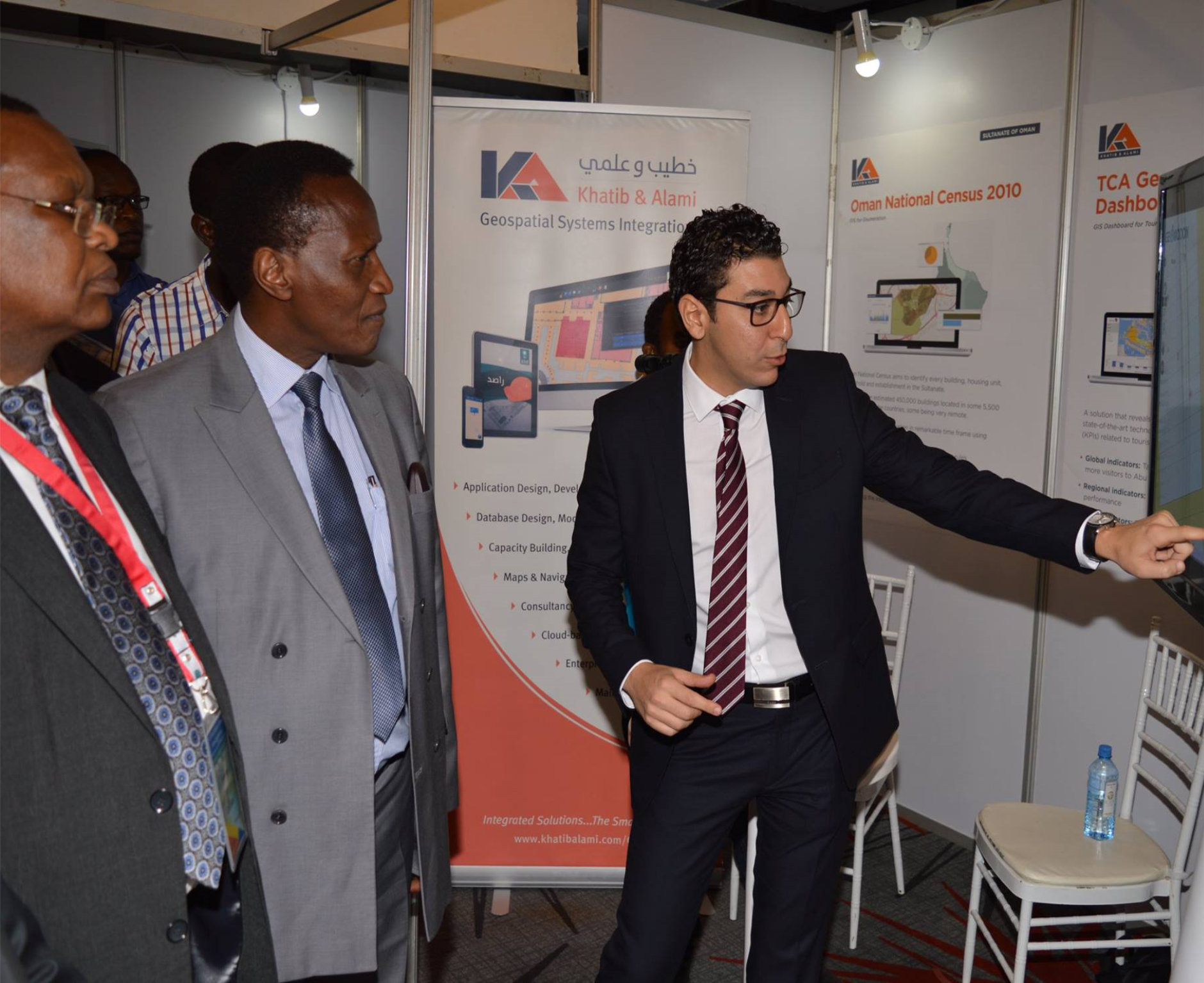
Meet with sponsors and exhibitors

Get specialized training
Experience the Esri Eastern Africa User Conference
Join hundreds of your peers from the region and across the globe in Mombasa, Kenya from 7-8 May 2025 to learn, network and share experiences as well as get familiar with what’s new in Esri and complementing GIS technologies.
Silver Sponsor
![]()
Exhibitor
![]()