
ENVI SARscape
October 18, 2022 2022-10-18 13:39ENVI SARscape
Get the full picture with Synthetic Aperture Radar data and technology
Accurately and reliably monitoring the Earth is critical to many geophysical and geospatial applications. However, most sensors cannot capture data at night or through clouds, dust or smoke.
Synthetic Aperture Radar (SAR) data can see where other sensors have blind spots. This 24/7, all-weather data can monitor millimeter-scale changes over broad areas and provide insights that can fill in the blanks left by other sensors.
ENVI | Spectral Analysis
ENVI SARscape
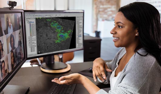
Data support and processing
ENVI SARscape works with all commercially available SAR data as well as many non-commercial SAR data sets including Sensor Independent Complex Data (SICD). ENVI SARscape works with any size data and has automated tools to quickly and easily prepare SAR data for viewing and further analysis.
 A lot of time and effort can be spent making SAR data ready for analysis. However, built-in tools and workflows in ENVI SARscape make it easy to ingest data and prepare it for analysis. This means more time can be spent on the data itself and solving problems.
Powerful tools such as the De Grandi Spatio-Temporal filter are great for reducing noise and speckle, and automatic co-registration makes processing workflows fast and easy. Plus, ENVI SARscape’s support of cloud and enterprise environments means users can take advantage of modern hardware and efficiently and accurately analyze data at scale.

Produce geospatial products
It is easy to create products and derive insights and answers with ENVI SARscape. These products could include a time series analysis plot of agricultural growth, tracking surface changes for a report, detecting and mapping a harmful spill and much more.
Maximize the benefits of amplitude and phase
Maximize the benefits of amplitude and phase
Synthetic Aperture Radar data provides not only amplitude or the intensity of the backscatter response but also phase, which allows for measurement of height and displacement – a unique benefit to SAR. ENVI SARscape software has tools to extract information from both the amplitude and phase, which enables users to fully utilize all aspects of SAR data to increase knowledge about areas of interest.
With ENVI SARscape, you can use the amplitude information of SAR data captured at different times over the same area to understand surface changes. Since SAR data is minimally influenced by the atmosphere, analyzing change is immediate and very efficient. Amplitude can be used to pick up physical information on the surface and is commonly used for agriculture, forestry and feature monitoring.
ENVI SARscape integrates point and area-based analysis techniques to measure displacement and deformation over time. Using the phase provides the ability to see miniscule surface changes that are impossible to see otherwise. This approach makes it possible to analyze deformation that affects both extended and localized structures related to natural or man-induced phenomena. Applications include analyzing volcanic or seismic activity, landslides, subsidence and building failures.
With ENVI SARscape, you can accurately process every type of SAR data in every way. This includes amplitude, single and multi-polarization, phase, a single SAR image or a stack of images. This allows you to easily view, observe, monitor and automatically extract information about an area as needed.
Talk to an Esri staff member to see how you can create a smarter, more engaged community with ArcGIS Hub.